AI-Driven Drone Navigation: What, Why, How, and What If
17/10/2025
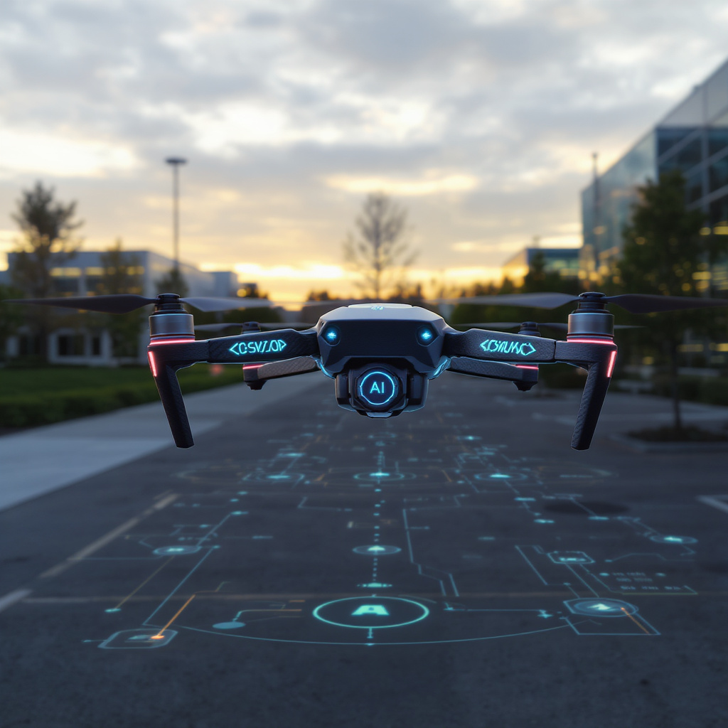
What: AI-driven drone navigation uses sensor fusion, machine learning, and real-time data to adapt flight paths beyond static GPS waypoints.
- AI Navigation: Combines computer vision, lidar, and neural networks to perceive obstacles and learn from past flights.
- Traditional GPS: Relies on pre-set coordinates and maps, struggling with interference and dynamic changes.
Why: This approach improves safety, efficiency, and battery life by dynamically avoiding obstacles, optimizing routes, and reducing manual intervention.
How:
- Path Planning: Algorithms like A*, Dijkstra’s, and RRT compute optimal routes using grid maps, wind data, and dynamic replanning to save energy.
- Sensor Fusion: Merging camera, lidar, and ultrasonic data builds a 3D model for real-time obstacle avoidance.
- Reinforcement Learning: Agents learn stable control strategies in simulations and real flights, improving disturbance rejection.
- Security: End-to-end encryption (TLS, DTLS), secure boot, and hardware modules protect data and firmware.
- Fleet Coordination: Swarm intelligence and 5G edge computing enable decentralized decision-making and low-latency responses.
What If: Without AI navigation, drones face higher risks, limited range, and increased operational costs. Taking it further unlocks:
- Agricultural Precision: Multispectral imaging for targeted spraying and crop monitoring.
- Medical Deliveries: Rapid, autonomous transport of supplies in emergencies.
- Commercial Scaling: Pilot testing, staff training, and phased integration for full-scale deployment.
By embracing AI navigation, operators can transform routine drone flights into intelligent missions—enhancing reliability, reducing costs, and pioneering new applications from inspections to emergency response.