AI-Driven Drone Navigation: Faster, Safer Flights with MPL.AI
3/8/2025
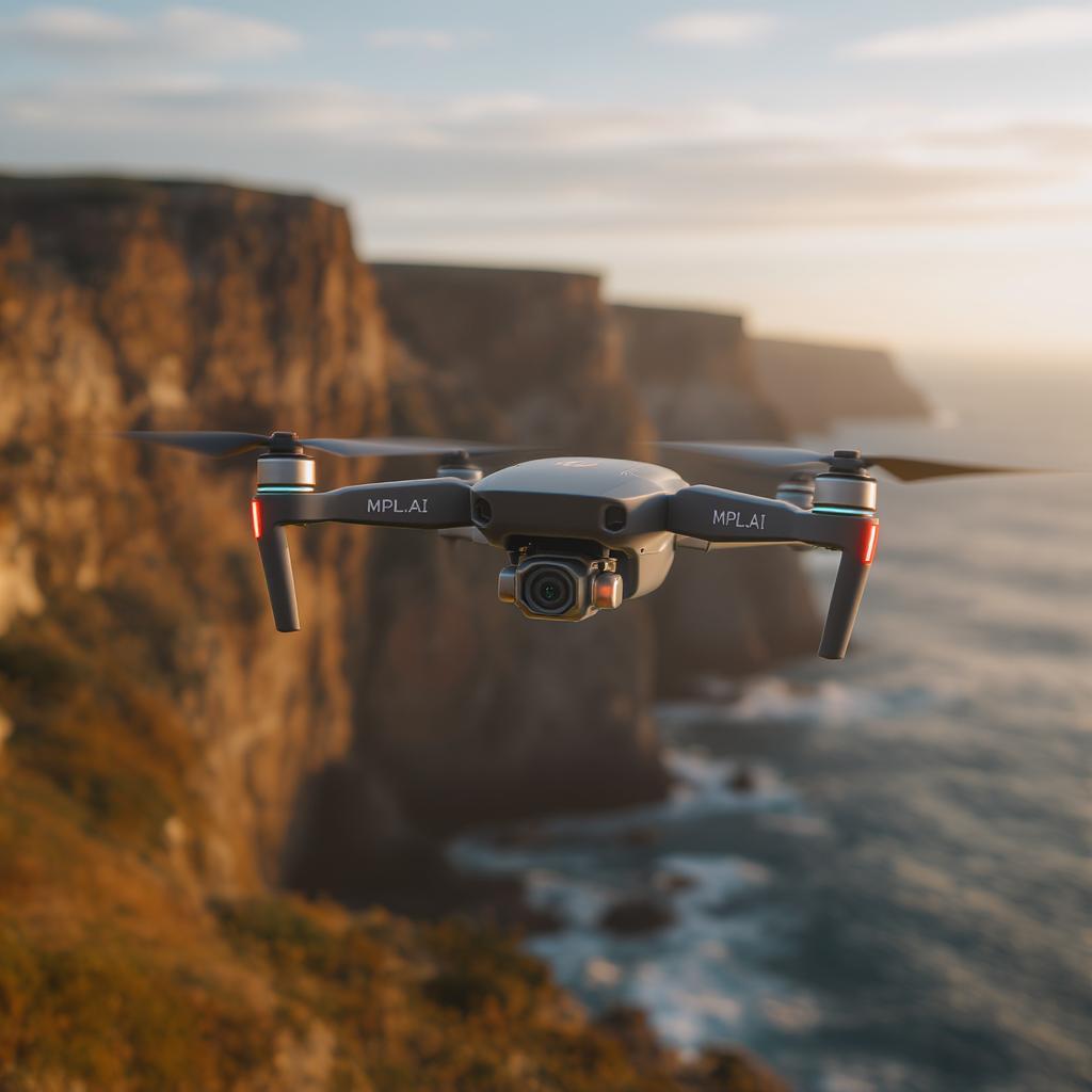
AI-driven drone navigation by MPL.AI reduces collision incidents by over 70% and accelerates missions by up to 30%, delivering adaptive, hands-free flights with real-time obstacle avoidance and precise positioning even when GPS falters.
Key Benefits:
- Safety: Advanced computer vision identifies obstacles—from tree branches to birds—in live video feeds.
- Efficiency: Reinforcement learning optimizes energy use and flight paths in dynamic conditions.
- Reliability: Sensor fusion of LiDAR, cameras, and IMUs ensures centimeter-level accuracy.
How It Works:
- Obstacle Recognition: Convolutional neural networks distinguish stationary structures and moving hazards, enabling instant reroutes.
- Adaptive Routing: Machine learning adjusts paths on the fly to avoid cranes, power lines, and wind gusts.
- Intelligent Fail-Safes: Predictive battery management, redundant sensor streams, and obstacle-aware emergency landings protect missions under stress.
Real-World Impact:
- Agricultural surveys cut mapping time by 40%.
- Industrial inspections detect micro-cracks 30% sooner.
- Consumer delivery pilots achieve over 95% drop success within one meter of targets.
Background & Compliance: Traditional waypoint flights suffer from GPS loss and rigid routes, risking drift and delays. MPL.AI integrates GDPR-compliant data handling and aligns with FAA Part 107, Remote ID, and EASA U-space regulations, ensuring privacy and legal compliance.
Looking Ahead: Future applications include autonomous delivery corridors and eco-monitoring patrols, combining minimal oversight with maximum mission reliability as AI algorithms and regulations evolve.